- Geography India - Introduction
- Geography India - Physical Aspect
- Geography India - Drainage System
- Geography India - Climate
- Geography India - Natural Vegetation
- Geography India - National Forest
- Geography India - Wildlife
- Geography India - Soil
- Geography India - Land Resources
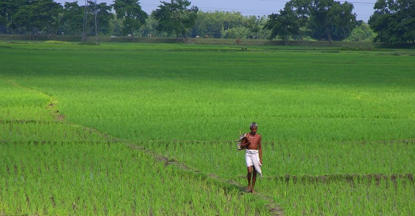
- Geography India - Agriculture
- Geography India - Mineral Resources
- Geography India - Energy Resources
- Geography India - Industry
- Geography India - Transport
- Geography India - Communication
- Geography India - Foreign Trade
- Geography India - The People
- Geography India - Settlement
- Geography India - Migration
- Regional Development
- Geography India - Disasters
- Geography of the World
- Geography World - Introduction
- Evolution of the Earth
- Geography World - Climate
- Geography World - Transport
- Geography World - Communications
- Geography World - Population
- Human Settlement
- Human Development
- International Trade
- Geography Useful Resources
- Geography - Online Quiz
- Geography - Online Test
- Geography - Quick Guide
- Geography - Useful Resources
- Geography - Discussion
Geography India - Land Resources
Introduction
Land use record is maintained by the Land Revenue Department.
The Survey of India is accountable for measuring geographical area of administrative units in India.
There is difference between the actual forest area and the forest area defined by the Government.
Categories of Land
Land under settlements (i.e. rural and urban), infrastructure (i.e. roads, canals, industries, shops, etc.) are kept under the category of Non-Agricultural Land.
Barren hilly terrains, desert lands, ravines, etc. normally are not suitable for cultivation, hence, they are known as Barren and Wastelands.
The land owned by the village panchayat comes under Common Property Resources.
Any land, which is left fallow (uncultivated) for more than five years is categorized as Culturable Wasteland.
The land, which is left without cultivation for one or less than one agricultural year is known as Current Fallow.
The physical extent of the land on which crops are sown and harvested is known as Net Sown Area.
Land use pattern changes with time and the nature of economic activities carried out in that region.
As a result of increase in population, change in income levels, available technology, and associated factors, pressure on land increases and marginal lands come under use.
When secondary and tertiary sectors grow much faster than primary sector, then agricultural land changes into non-agricultural land.
Likewise, India has undergone major changes within the economy over the past four or five decades, and it has influenced the land-use changes in the country.
Because of the changing structure of the Indian economy, the rate of increase of non-agricultural land is very fast.
