Learn to use Python for Spatial Analysis in ArcGIS
Learn a great GIS skill

Lectures -22
Resources -11
Duration -4 hours

30-days Money-Back Guarantee
Get your team access to 10000+ top Tutorials Point courses anytime, anywhere.
Course Description
Amazing intermediate course on using Python for Spatial Analysis in ArcGIS
In the first part of the course you will learn the basics of ArcGIS for spatial analysis. Learn to perform them with the current tools in the software.
In the second part Yilan will teach you the steps to become a great GIS expert.
Here is the things you can learn about:
Lesson 1: Introduction of batch processing –
Find Maximum values through multiple raster layers with python script
Lesson 2: Link a series of processes to one –
Hydrological processing with python script
Lesson 3: Animation of feature data 1 –
Preparation of feature attribute table by join and relates in ArcGIS
Lesson 4: Animation of feature data 2 –
Apply symbology to Layer feature by python script and make animation
Lesson 5: Animation of raster data 1 –
Animation of ASCII data
Lesson 6: Animation of raster data 2 –
Animation of NetCDF data
Lesson 7: Collect data and Batch processing –
Mosaic and Extract
Lesson 8: Hydrological processing with python script –
Watershed and Basins
Lesson 9: Map Algebra and Math 1–
Raster Calculator and Math with Python
Lesson 10: Map Algebra and Math 2–
A real application: improve flood map resolution
Goals
What will you learn in this course:
- Learn Spatial Analysis
- Learn to create animations
- Learn to use Python in ArcGIS
- Learn to use Python for spatial Analysis
Prerequisites
What are the prerequisites for this course?
- Basic Computer Fundamentals & Terminologies
- A computer installed with Windows
- ArcGIS software installed

Curriculum
Check out the detailed breakdown of what’s inside the course
Introduction to Spatial Analysis
10 Lectures
-
Point Density Analysis 09:36 09:36
-
Raster Calculator and Vector Isolation 11:56 11:56
-
Raster to Topography 12:23 12:23
-
Raster Reclassification 14:26 14:26
-
Raster Overlay 13:25 13:25
-
Slope Analysis and Hydrology tools 10:32 10:32
-
Introduction to TIFF Files 12:03 12:03
-
Introduction to 3D Surfaces 12:17 12:17
-
Satellite Images and TIN Surfaces 12:23 12:23
-
Exercise 07:57 07:57
Introduction to Python for Spatial Analysis
11 Lectures

Instructor Details

Paul Nicoara
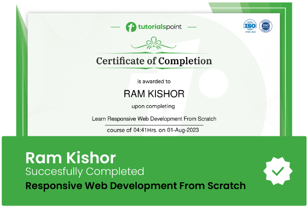
eCourse Certificate
Use your certificate to make a career change or to advance in your current career.

Our students work
with the Best


Related Video Courses
View MoreAnnual Membership
Become a valued member of Tutorials Point and enjoy unlimited access to our vast library of top-rated Video Courses
Subscribe now
Online Certifications
Master prominent technologies at full length and become a valued certified professional.
Explore Now


 Updated on Apr, 2024
 Language - English